Uganda
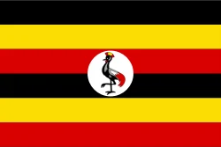
Uganda is in Africa, in the East Africa region. Its capital is Kampala. It has a population of about 51.4 million and an area of 241,550 km². Its flag has 4 colors, and the one that takes up the most space is yellow, at 33.4% of the total.
The flag of Uganda as a pie chart
- Yellow 33.4%
- Black 31.5%
- Red 31%
- White 4.1%
- Design
- Horizontal stripes (6)
- Symbol
- Has a bird
Each slice shows how much of the flag each color covers. It's the same data as CakeFlag, our game where you guess countries from the colors of their flag.
Uganda at a glance
- Capital
- Kampala
- Continent
- Africa
- Region
- East Africa
- Official languages
- English and Swahili
- Currency
- Ugandan shilling
- National day
- October 9
- Highest point
- Mount Stanley (about 5,110 meters)
- Area
- 241,550 km²80th largest out of 208
- Population
- 51.4 million31st most populous out of 204 · 2025 data
- Population density
- 212.7 people/km²54th most densely populated out of 204 · 2025 data
- GDP
- US$ 62 billion90th highest GDP out of 200 · 2025 data
- GDP per capita
- US$ 1,20623rd lowest GDP per capita out of 200 · 2025 data
- Life expectancy
- 68.5 years52nd lowest life expectancy out of 204 · 2024 data
More facts
- Became independent from the United Kingdom
- Joined the UN in 1962
- Drives on the left
- Landlocked
- The Equator runs through it
Fun facts about Uganda
Featured in GeoFacts #12
- In one of its parks, lions sleep up in the trees. Source: Wikipedia (en) - Queen Elizabeth National Park
- One of its parks is home to almost half of the mountain gorillas left in the world. Source: Wikipedia (en) - Bwindi Impenetrable National Park
- In its city of Jinja, the Nile flows out of Lake Victoria, a spot considered the source of the river. Source: Wikipedia (en) - Victoria Nile
Neighboring countries
Uganda borders 5 countries:
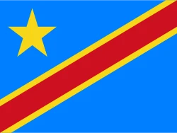 DR Congo
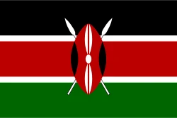 Kenya
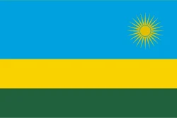 Rwanda
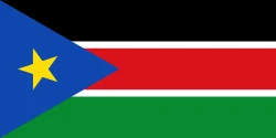 South Sudan
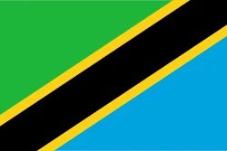 Tanzania
Would you recognize it in a game?
Data: World Bank, world-countries, Wikidata and CIA World Factbook. See all sources.