Slovakia
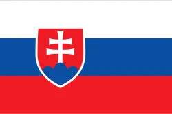
Slovakia is in Europe, in the Central Europe region. Its capital is Bratislava. It has a population of about 5.4 million and an area of 49,037 km². Its flag has 3 colors, and the one that takes up the most space is red, at 39.1% of the total.
The flag of Slovakia as a pie chart
- Red 39.1%
- White 34.2%
- Blue 26.7%
- Design
- Horizontal stripes (3)
- Symbol
- Has a coat of arms
Each slice shows how much of the flag each color covers. It's the same data as CakeFlag, our game where you guess countries from the colors of their flag.
Slovakia at a glance
- Capital
- Bratislava
- Continent
- Europe
- Region
- Central Europe
- Official languages
- Slovak
- Currency
- Euro
- National day
- September 1
- Highest point
- Gerlachovský štít (about 2,660 meters)
- Anthem
- “Nad Tatrou sa blýska”
- Area
- 49,037 km²81st smallest out of 208
- Population
- 5.4 million83rd least populous out of 204 · 2025 data
- Population density
- 110.4 people/km²86th most densely populated out of 204 · 2025 data
- GDP
- US$ 154.5 billion60th highest GDP out of 200 · 2025 data
- GDP per capita
- US$ 28,54452nd highest GDP per capita out of 200 · 2025 data
- Life expectancy
- 78.4 years56th highest life expectancy out of 204 · 2024 data
More facts
- Joined the UN in 1993
- Landlocked
Fun facts about Slovakia
Featured in GeoFacts #21
- It has an aragonite cave, one of the few in the world, listed as a World Heritage Site. Source: Wikipedia (en) - Ochtinská Aragonite Cave
- It makes more cars per person than any other country: around a million a year. Source: Wikipedia (en) - Automotive industry in Slovakia
- On January 1, 1993 it split peacefully from its neighbor, in the so-called "Velvet Divorce". Source: Wikipedia (en) - Dissolution of Czechoslovakia
Neighboring countries
Slovakia borders 5 countries:
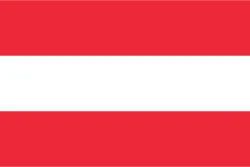 Austria
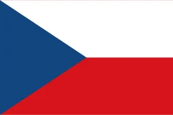 Czechia
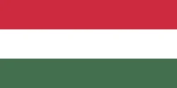 Hungary
 Poland
 Ukraine
Would you recognize it in a game?
Data: World Bank, world-countries, Wikidata and CIA World Factbook. See all sources.