Ivory Coast
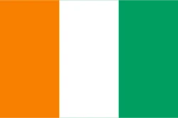
Ivory Coast is in Africa, in the West Africa region. Its capital is Yamoussoukro. It has a population of about 32.7 million and an area of 322,463 km². Its flag has 3 colors that take up the same space: green, orange, and white, at 33.3% each.
The flag of Ivory Coast as a pie chart
- Green 33.3%
- Orange 33.3%
- White 33.3%
- Design
- Vertical stripes (3)
- Symbol
- No coat of arms or symbols
Each slice shows how much of the flag each color covers. It's the same data as CakeFlag, our game where you guess countries from the colors of their flag.
Ivory Coast at a glance
- Capital
- Yamoussoukro
- Continent
- Africa
- Region
- West Africa
- Official languages
- French
- Currency
- West African CFA franc
- National day
- August 7
- Highest point
- Mount Richard-Molard (about 1,750 meters)
- Anthem
- “L'Abidjanaise”
- Area
- 322,463 km²70th largest out of 208
- Population
- 32.7 million50th most populous out of 204 · 2025 data
- Population density
- 101.4 people/km²94th most densely populated out of 204 · 2025 data
- GDP
- US$ 99.8 billion78th highest GDP out of 200 · 2025 data
- GDP per capita
- US$ 3,05050th lowest GDP per capita out of 200 · 2025 data
- Life expectancy
- 62.1 years14th lowest life expectancy out of 204 · 2024 data
More facts
- Became independent from France
- Joined the UN in 1960
Neighboring countries
Ivory Coast borders 5 countries:
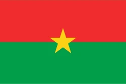 Burkina Faso
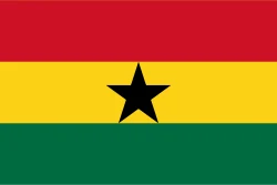 Ghana
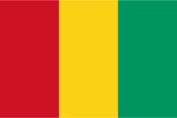 Guinea
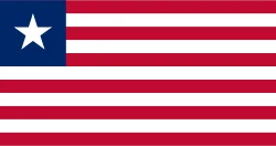 Liberia
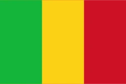 Mali
Would you recognize it in a game?
Data: World Bank, world-countries, Wikidata and CIA World Factbook. See all sources.